GIS and Remote Sensing Services
GIS and Remote Sensing
EMPOWERING POSSIBILITIES THROUGH TECHNOLOGY
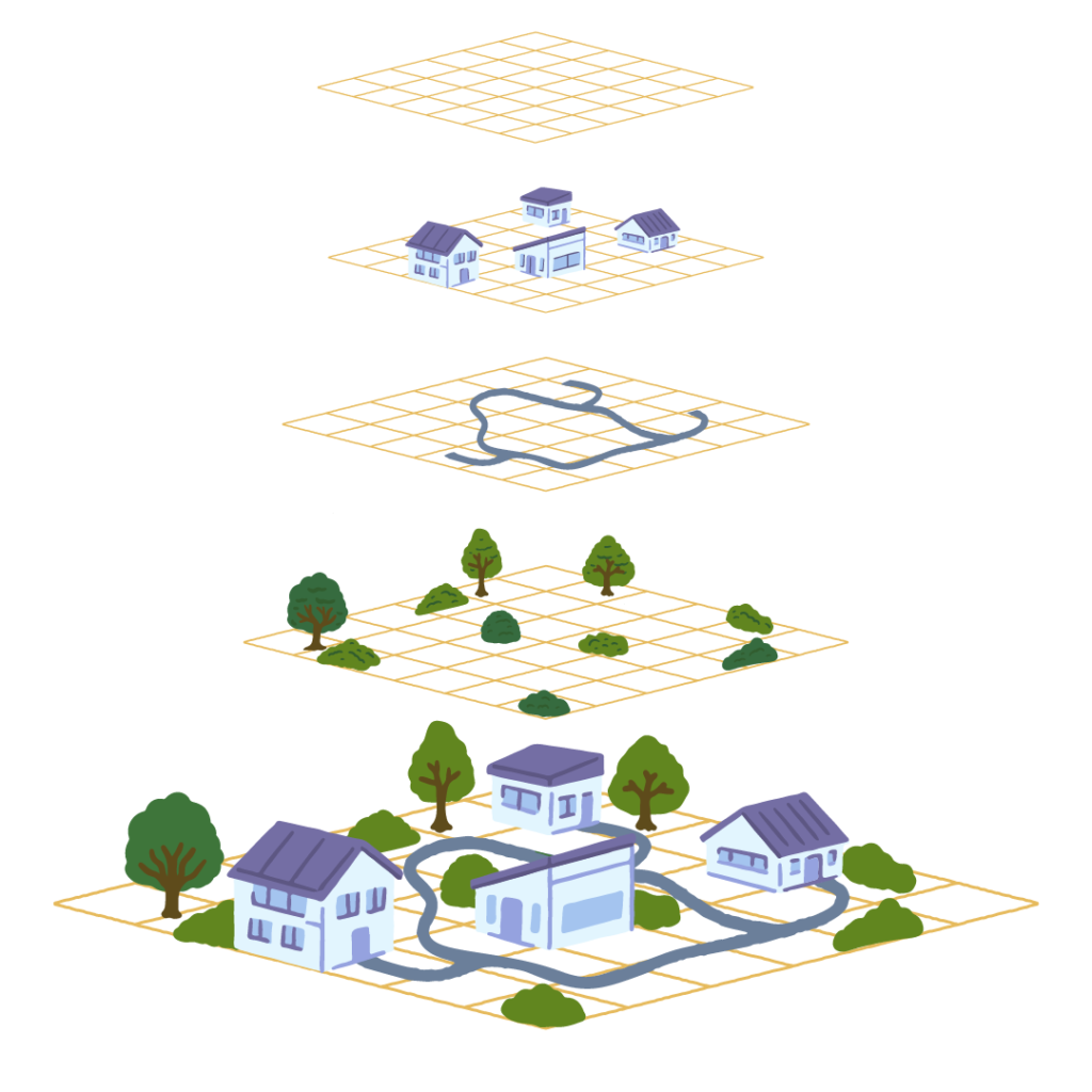
We specialize in providing advanced Geographic Information Systems (GIS) and Remote Sensing services to support businesses, governments, and organizations in making informed, data-driven decisions. Our expertise in spatial data analysis, mapping, and remote sensing technologies ensures that we deliver precise, actionable insights for various sectors.

Services we offer
Precision Mapping and Spatial Analysis
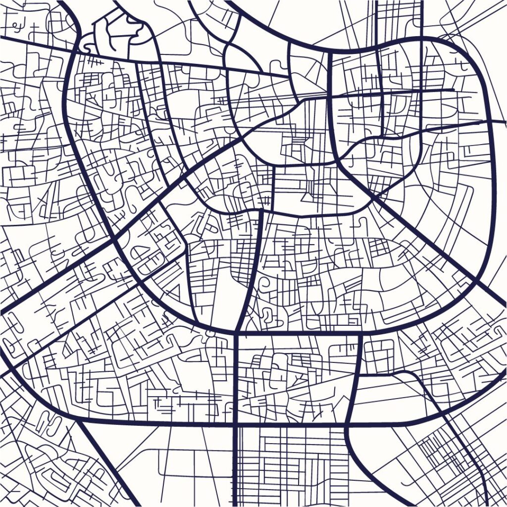
We offer cutting-edge mapping solutions that provide detailed visual representations of geographic data. Our GIS specialists generate high-quality maps that support urban planning, land use management, infrastructure development, and more.
Land Use and Land Cover Analysis
Our remote sensing services allow for the detection and classification of land use and land cover changes over time. Whether it's monitoring agricultural patterns or assessing environmental changes, we help you stay informed and proactive.
Remote Sensing for Agriculture
Using satellite imagery and UAV (drone) technology, we provide actionable insights for agricultural productivity. Our services include crop health monitoring, yield prediction, and soil analysis to help farmers and agribusinesses optimize operations.
Environmental and Disaster Monitoring
We use GIS and remote sensing tools to monitor environmental changes, including deforestation, flooding, and other natural disasters. Our systems provide early warning and post-disaster assessments to aid in disaster response and mitigation.
Geospatial Data Management
We offer efficient geospatial data management services, enabling you to store, analyze, and visualize your data for better decision-making. Our services are designed to enhance data integration and sharing across your organization.
Drone Surveying and Aerial Imaging
Our drone services provide accurate and high-resolution aerial imagery for various industries, including real estate, construction, mining, and agriculture. With our drone technology, we deliver precise surveys and assessments.
Custom Web Maps and Dashboards
We develop interactive web-based maps and dashboards that allow real-time visualization of geographic data. From tracking assets to monitoring project progress, our solutions help you visualize and share spatial data easily.
GIS Training and Consultation
Our team provides hands-on GIS training and consultation services to help your team gain the skills and knowledge needed to maximize the benefits of GIS technologies. We tailor our training to meet your specific needs.
Why Choose HikeHill Technologies for GIS and Remote Sensing?
- Expertise: Our team of GIS professionals has extensive experience in spatial data analysis and remote sensing technologies.
- Customization: We provide tailored GIS solutions that meet the specific needs of your project or organization.
- Technology-Driven: We utilize the latest GIS software, satellite imagery, and drone technology to deliver the most accurate results.
- Data Security: We ensure the safety and integrity of your data with robust data protection measures.

Our Portfolio
Check out some of our GIS products from some of our projects
Let's build your next GIS Project
Get in touch with us.
Lets Work Together
Reach out to us today to discuss your project goals, and together, we’ll craft a tailored project outline that perfectly aligns with your needs.

